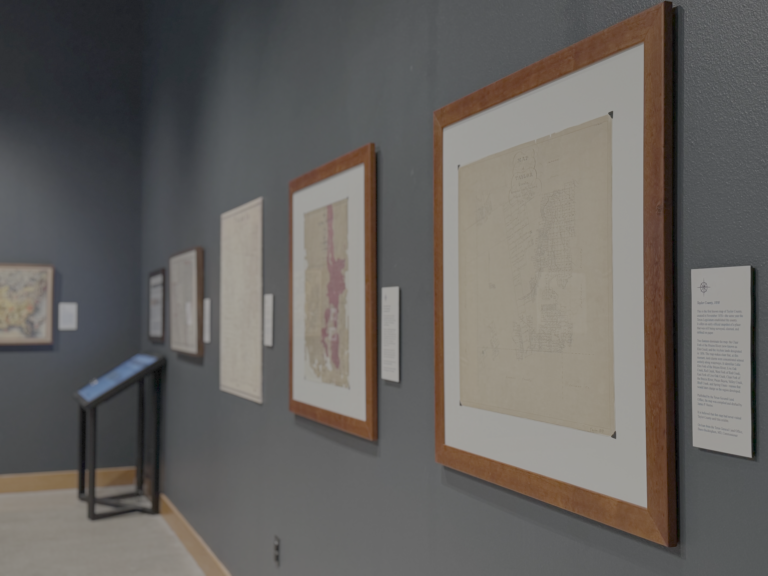
The new temporary exhibit, Defining Texas: The Maps and Deeds that Shaped a Culture, will be on display from March 2 – August 9. This temporary exhibit follows the paper trail that defined Texas. The published maps that inspired people to venture into places they had never seen, the surveys that fixed lines on the ground, and the records that determined who could own, use, and pass land to the next generation. Along the way, you’ll see how geography and law shaped culture – how a demanding landscape rewarded self-reliance, perseverance, and pride. The exhibit displays maps and deeds dating back to the early 1600s, one of which is the earliest map on record of Taylor County. Several of the documents displayed are on loan from the General Land Office and the Museum of the Big Bend. Additionally, there are pieces of early surveying equipment displayed on loan from local architect, Rick Weatherl’s collection.